Loading
Platform
Everything on your compliance checklist. Then the thing that isn't.
Supplier onboarding, geometry, satellite screening, risk, custody and TRACES filing — built so a Ugandan exporter can run it without a compliance department.
01 · Map
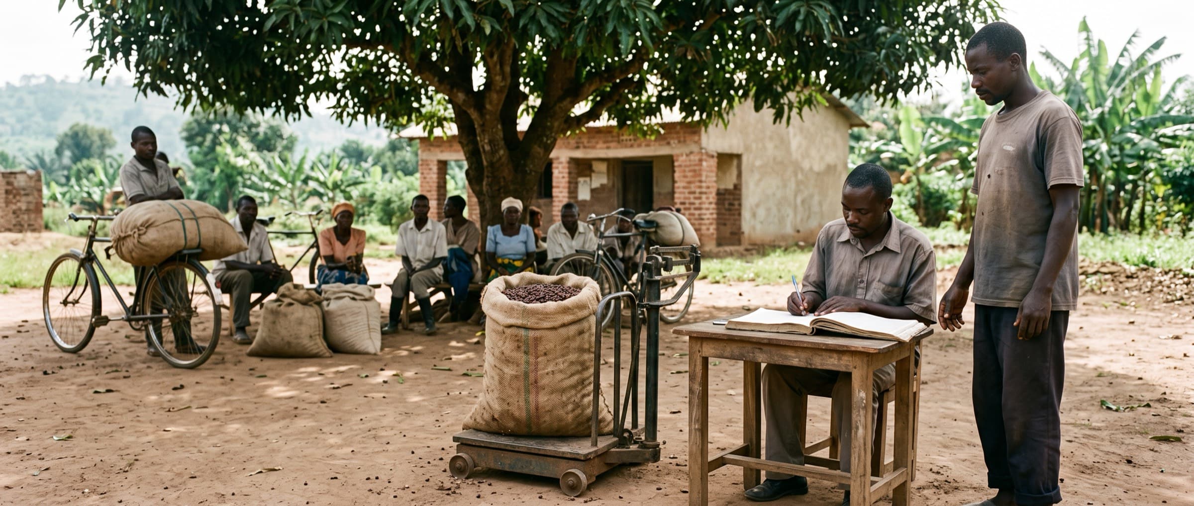
Suppliers and gardens, from whatever you have
Supplier onboarding
Camera or bulk upload of land titles, customary tenure letters, LC1 letters, cooperative membership, certificates, national IDs and tax registration. Fields extracted with a confidence per field; anything below threshold goes to a person. Fuzzy matching across name, location and ID hash so one farmer is one record.
Hierarchy: farmer → producer group → collection point → cooperative → exporter. Every supplier has a completeness score that names exactly what is missing.
Boundaries arrive as files
- RecordYour field staff or a survey partner walk the plot with any GPS tool — a handheld or a phone app — and export it.
- UploadGeoJSON preferred; KML, Shapefile, CSV and GPX accepted. Features are matched to gardens by ID or farmer, with a preview before commit.
- CheckThe ten validation checks below run on every upload, surveyor or staff, before anything is saved.
- PointA single coordinate is accepted under 4 ha only, and the upload page says why a polygon is better.
Supplier portal
Branded for your exporter. Cooperatives declare inventory, upload documents and see what is missing in their portal. Low-bandwidth mode throughout.
Geometry validation — every known TRACES rejection causeNever silently altered. You accept or reject each fix.
| Check | What we do | Outcome |
|---|---|---|
| Unclosed ring | Auto-close | Fixed · flagged for review |
| Self-intersection | Repair via buffer(0) | Fixed · flagged |
| Wrong winding order | Correct to right-hand rule | Fixed |
| Wrong CRS | Reproject to WGS84 (EPSG:4326) | Fixed |
| Precision loss | Enforce ≥ 6 decimal places | Fixed |
| Point where a polygon is required (> 4 ha) | — | Hard block |
| Implausible area for a coffee garden | Compare to a smallholder's plausible range | Warn |
| Overlap with another plot | Flag both | Reconcile |
| Impossible location | — | Hard block |
| Duplicate geometry, different farmers | Flag as possible double-counting | Reconcile |
02 · Verify
Satellite screening, explainable risk, real legality
The layers
- JRC Global Forest Cover 2020 V3 — the EU's own reference, 10 m.
- JRC Global Forest Types 2020 — primary, naturally regenerating, or planted. Incumbents collapse this.
- Sentinel-2 quarterly cloudless mosaics from 2018, including a full 2020.
- Hansen GFC — corroborating signal only.
- WDPA and Uganda NFA protected-area boundaries.
Per plot: forest overlap %, forest type, change events with dates and confidence, protected-area distance, a tree-cover series from 2018, and a verdict — clear, flagged, or contested. Each new Sentinel-2 pass re-checks your plots.
Risk you can defend
Uganda is classified standard risk: full due diligence plus mitigation wherever risk is non-negligible. Signals at plot, supplier, chain and geography level.
Every assessment emits its tier, ranked signals with weights, dataset versions, methodology version, timestamp and reviewer. Deterministic and versioned — a language model never writes your score. Mitigation plans carry owners, due dates and evidence requirements, tracked to closure and attached to the statement.
Legality, as a module
Land use rights, forest management, labour and human rights including FPIC, tax, anti-corruption, trade and customs. Uganda's tenure types — freehold, mailo, leasehold and customary — each with its own evidence standard, because most coffee smallholders hold customary land with no conventional title deed.
FPIC with readback in the farmer's language, captured as timestamped, geotagged audio. Per-plot dossier of required / held / missing. Uganda's legal requirements are a versioned pack, updated the day the law changes.
03 · Trace
A ledger that cannot be talked into rounding up
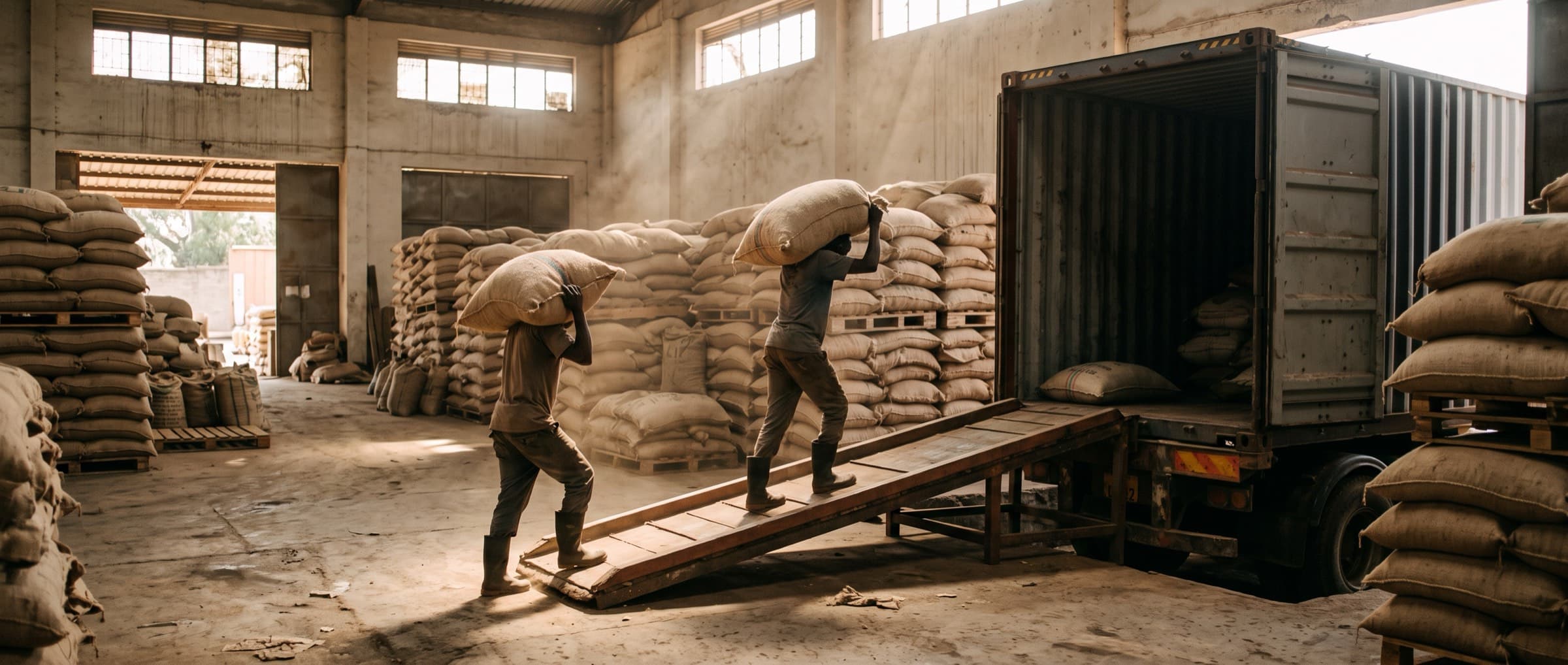
Delivery → pooling → processing → transfer → blending → shipment, each an append-only, hash-chained event. Mass balance is enforced with empirical yield factors — parchment to green at about 0.80 — inside tolerance bands. Impossible outputs are blocked. Variance becomes an exception for a person to resolve, not a number to absorb.
If traced contributing volume is below the claimed container volume, the statement does not file. There is no override.
- DeliveryKyarumba CP · 14 Oct · 1,240 kg cherry#a91f…c2
- ProcessingWet mill → parchment · 248 kg · yield 0.20#77e0…9b
- ProcessingDry mill → green · 198 kg · yield 0.80#c310…4e
- BlendingLot L-2026-118 · variance 4.1% · exception open#0d8a…71
- ShipmentContainer MSKU-884120 · 320 bags · Mombasa#5be2…03
04 · File
Filed to TRACES, and the records to prove it for five years
The statement
Article 9 / Annex II payload: operator and EORI, product and CN/HS codes, quantity, country of production, supplier, geolocation of every contributing plot, harvest range, deforestation-free and legality evidence.
- TRACES API V3 only — V1 and V2 are decommissioned
- Acceptance and Production environments, separate keys
- Conformance tests CF2, CF3, CF5, CF6 before Production
- Reference number and verification number returned — they are not the same thing
- The 72-hour amendment window is a state, not a footnote
- Filed as your agent, under your credentials, never ours
Audit dashboard & exports
Coverage %, geometry pass rate, screening distribution, open flags by severity, DDS pipeline by state, expiring documents, volume traced vs shipped. Five-year immutable, hash-chained retention.
Exports: Audit Pack (PDF), Buyer Pack (PDF + structured), raw GeoJSON / CSV / JSON. Any statement can be regenerated from source records with the dataset and methodology versions in force on its filing date.
Downstream sharing
Buyer verification links, GeoJSON consolidated to container level, reference and verification number hand-off, signed status webhooks. Three disclosure tiers switched by you; every Tier 2 and 3 view logged where you can see it.